
Also serving the communities of De Luz, Rainbow, Camp Pendleton, Pala and Pauma
Also serving the communities of De Luz, Rainbow, Camp Pendleton, Pala and Pauma
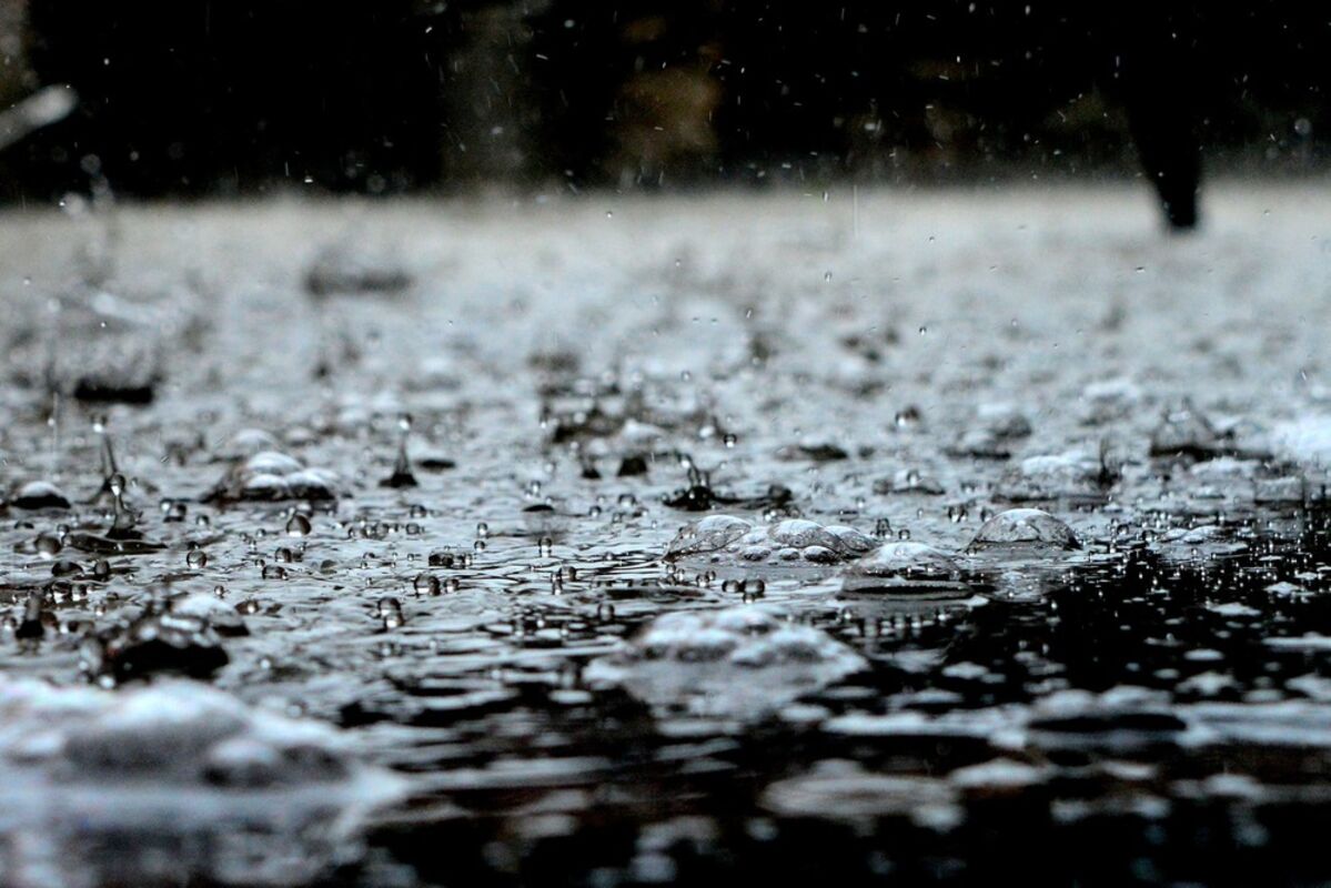
SAN DIEGO (CNS) - A storm heading to Southern California could bring heavy rain and thunderstorms to San Diego County starting Sunday night, and lasting through Thursday, according to the National Weather Service.
An upper-level high-pressure system over the area shifted east over the weekend as an upper-level trough moved in from the northwest. This trough is the dominant factor sending Pacific storms into the area, forecasters said. A colder cell arriving Christmas day will see temperatures plummeting and rain levels increasing, they said.
Precipitation will come to an end Friday with dry weather likely next weekend, forecasters said. However, another Pacific storm could arrive by New Year's Eve.
On Thursday, the county could receive up to .24 inches of rain, with the likely rain at 55% in the morning, dropping to 25% by the end of the day.
On Friday, there will be a slight chance of rain showers, starting the day with a 25% chance and ending with 15%.
In the mountain areas, the snow level could drop to 4,502 feet on Tuesday. On Wednesday, the mountain snow level could fall to 4,239 feet. And on Thursday and Friday, the snow level could drop to 3,701 feet.
Reader Comments(0)