
Also serving the communities of De Luz, Rainbow, Camp Pendleton, Pala and Pauma
Also serving the communities of De Luz, Rainbow, Camp Pendleton, Pala and Pauma
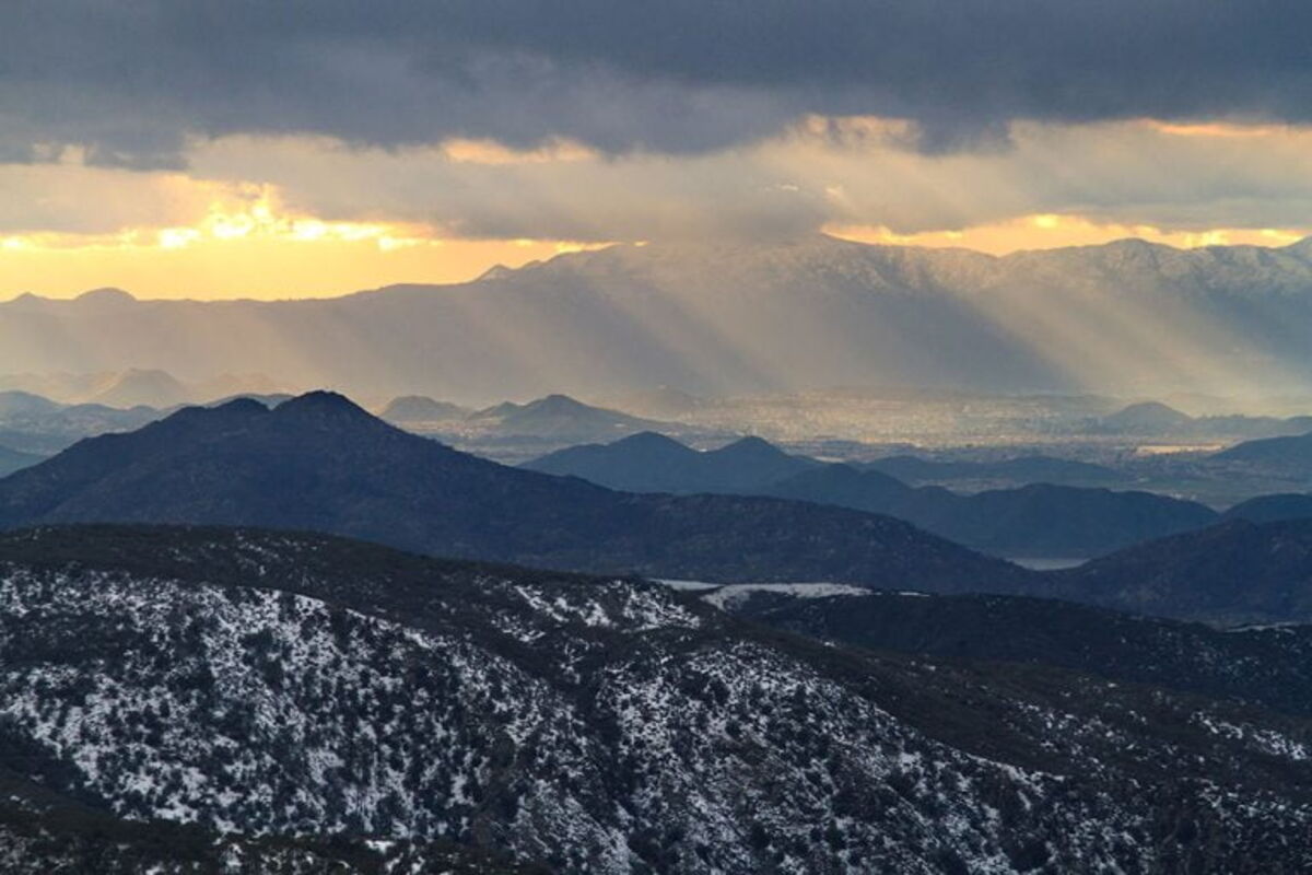
SAN DIEGO (CNS) - After nearly 5 inches of rain in March alone, sunny skies and warm temperatures were forecast today in San Diego County, with highs above average for the coast and valleys and near normal for the mountains and deserts, the National Weather Service said.
Saturday was expected to be the warmest day San Diego residents have seen in a long time in the coast and valleys.
However, big changes were on the horizon for Sunday and through much of next week, with thick cloud cover, widespread precipitation, much cooler temperatures and strong winds impacting Southern California.
Scattered showers are possible Sunday and Monday before heavier and more steady rain and mountain snow occurs Tuesday and Wednesday. Drying and a little warming was likely by the end of the week.
Coastal temperatures Saturday were expected to be 69 to 73 degrees, with overnight lows of 48 to 52. Western valley highs were predicted to be around 76 and 68 to 73 in the foothills, with overnight lows of 42 to 50.
Mountain highs were forecast to be 59 to 67, with lows 34 to 44, while highs in the deserts were expected to be 76 to 79 with lows 50 to 57.
Snow levels on Monday should start out between 6,000 and 7,000 feet, but quickly fall to between 5,000 and 6,000 feet Monday night, the NWS said. This storm has the potential for more heavy snowfall at all mountain resorts through mid-week.
Precipitation should taper off by Thursday, but it could remain quite cool through the end of the week.
Copyright 2023, City News Service, Inc.
CNS-03-18-2023 10:01

Reader Comments(0)